Participate with Data
A data-driven participatory planning initiative led by FCL Global and Participate in Design.
Future Cities Laboratory Global and ETH Zürich2024
Project Name
Project Date
Affiliation
Team
Joshua's Contribution
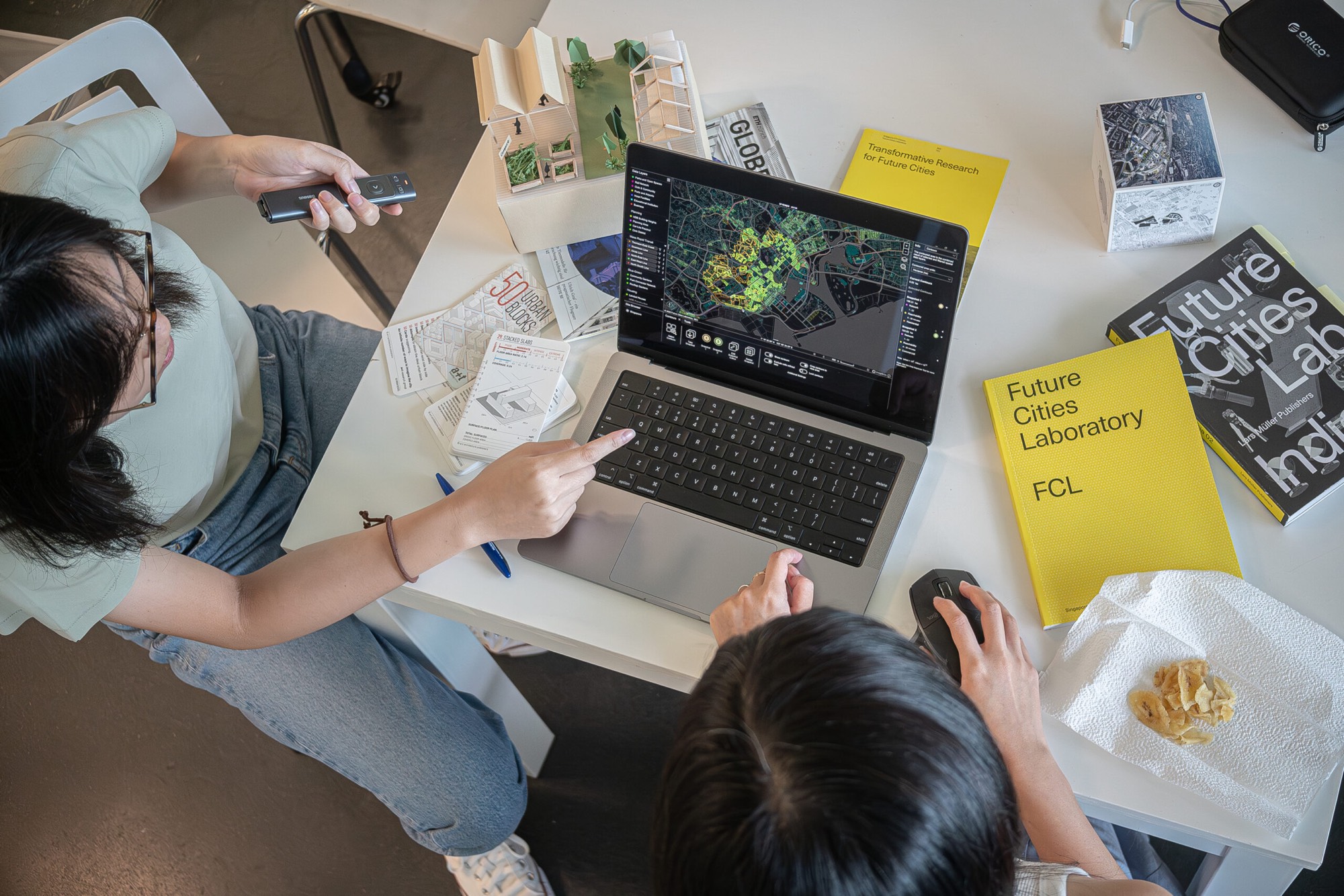
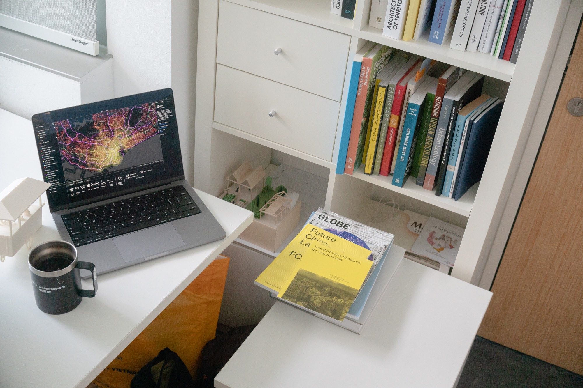
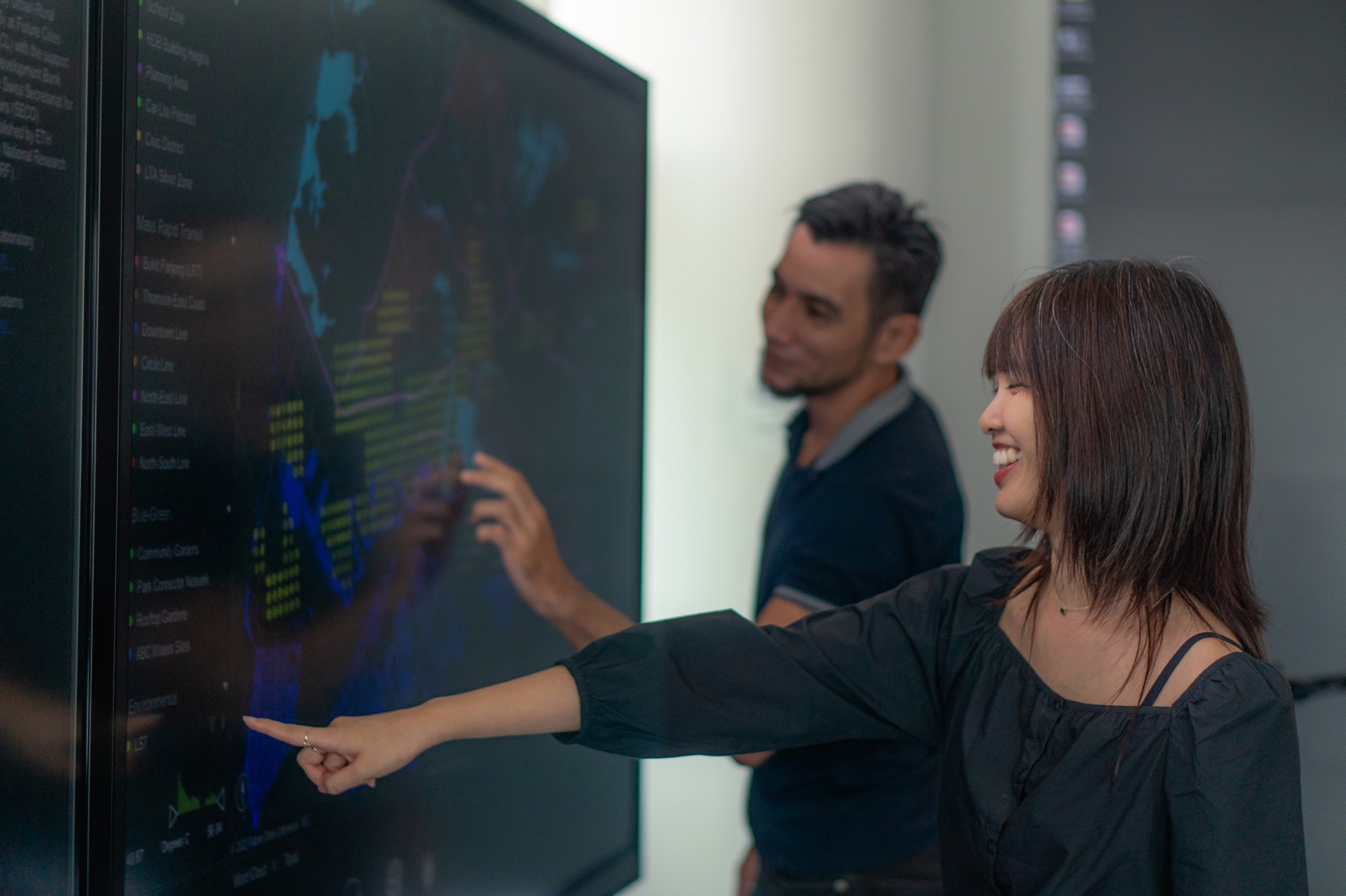
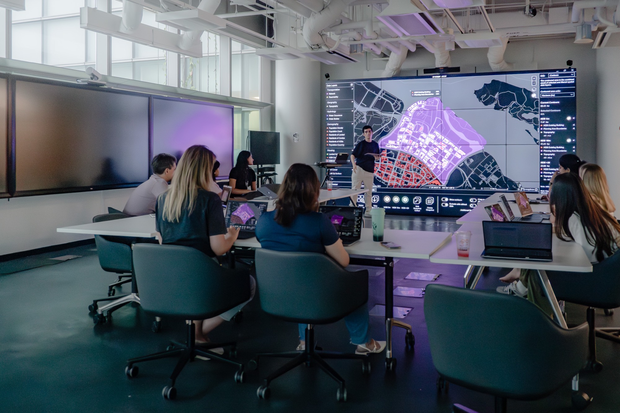
ur-scape is an open-source planning support tool developed at Future Cities Laboratory Global. It aims to make geospatial data more accessible and interactive through an intuitive user interface. Users can import geospatial datasets of diverse formats and visualise them instantly, enabling collaborative workflows such as participatory workshops that foster conversations around complex urban challenges. ur-scape has been developed with the support of the Asian Development Bank and SECO since 2017. Joshua joined the ur-scape team in 2023, initially to contribute to a consulting project for three towns in Rajasthan, India. Since then, he has helped lead the development of ur-scape to meet stakeholder needs, including the development of a new website, the completion of the 0.9.97 bugfix release and the design of a roadmap for future development.
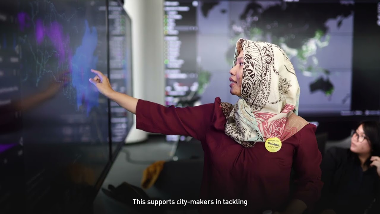
ur-scape is an open-source planning support tool specifically designed to assist towns, cities and regions experiencing rapid urbanisation. It addresses urgent and complex challenges that arise in such areas by harnessing the available geospatial data however diverse and varied in quality. By seamlessly combining different types, scales and sources of those data, ur-scape provides intuitive, interactive and reliable outputs that can be easily navigated and analysed in real-time.
ur-scape encourages city makers to tackle interconnected practical and strategic challenges of urbanising environments collaboratively. It empowers mayors, policy planners, developers, consultants or community leaders to collectively address the ‘stress points’ such as flooding, traffic congestion, poverty while enhancing the ‘sweet spots’ such as accessibility, equity, economic vibrancy. The tool helps integrate actions on the ground with broader urban systems, as well as national strategic plans and global development goals to foster sustainable and resilient living environments.
Click on an image to expand it.
Tap on a photo to expand it.
code + design + sound © 2026 joshua vargas